Inveroran to Kinlochleven – 19.2 miles (851.6 total)
The taxi came early so I arrived at Inveroran and was en route by 9.15am. After a lot of agonising, Pete decided to take the complete day off. He had been considering walking to Glencoe and catching the bus, first to Ballachulish, then to Kinlochleven, but on reflection, decided that he didn’t want to hold me back by making a long day even longer. As it turned out, I think he made a wise decision.
A party of 3 talked to me as I was getting my GPS set up at Inveroran. When I caught up with them I discovered that the husband had treated his wife (and her cousin) to this as a 60th birthday treat. They had booked their accommodation last October. A Danish family that I spoke to on the first day, walking from Milngavie, had booked a year in advance. Because of the uncertainty of me even getting this far and the short time-frame, I’m amazed that Pete was able to organise anywhere for us to stay at all. Mind you, he did keep on moaning about it, but I just ignored him… as good friends do!

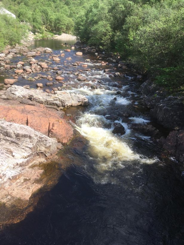
The walk followed the road initially, until it crossed the river at Victoria Bridge. Loch Tulla, which I’d seen yesterday when approaching Inveroran, was still visible to my right. My printed A4 ordnance survey maps, starting yesterday, now have everything printed in Gaelic, with few English equivalents. While I have no problem with this as a Scot, as a blogger it is a bit of a pain. The names don’t mean anything to me and I doubt if they’ll mean anything to most of my readers. They also look far too complicated to transcribe.
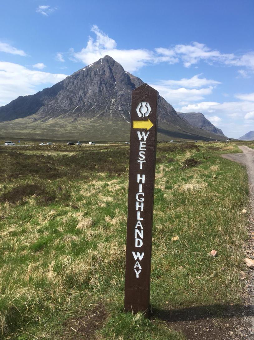
After the bridge the path leaves the military road and continues due north towards the lower slopes of Black Mount. The iconic Buachaille Etive Mor, with its distinctive shape, grows ever larger as you tramp along. The WHW touches and leaves the Old Military Road a couple of times before finally following it virtually all the way to Kinlochleven. I could see pockets of walkers stretching far into the horizon as the path started to climb towards Glencoe. Walking alone, I passed lots of them, hearing German, Scandinavian, East European, French, Canadian, Australian (and probably New Zealand – but I can’t differentiate between them, sorry) and American accents.

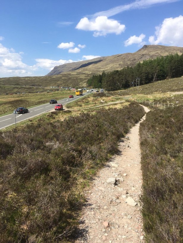
The view along Glencoe and across Rannoch Moor, as you cross the highest point and start to descend, is quite special. The main road, the A82, was busy with traffic as far as the eye could see. My route ahead, on the far side of the road, was obvious and still lined with walkers. By now the day was getting extremely hot so I stopped a couple of times for a short water break.
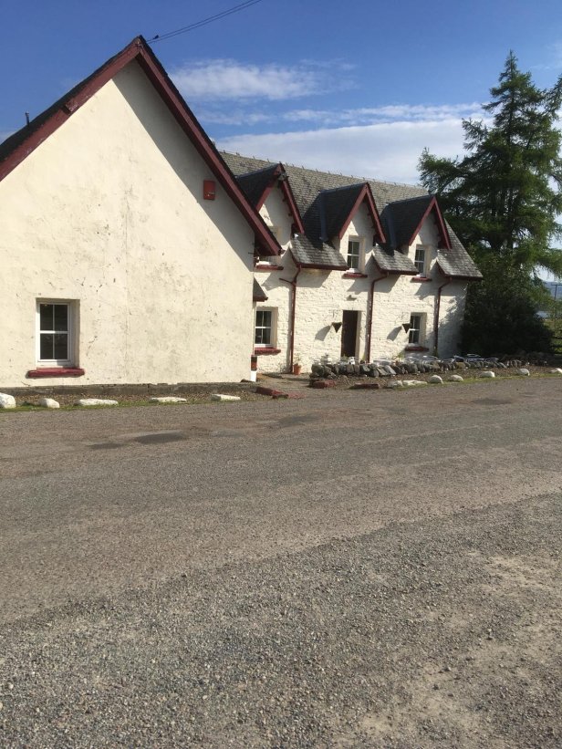
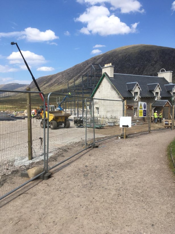
I crossed the road and headed towards Kings House. This was a much-loved and strategically-placed hotel/bar on the WHW. Sadly it has been closed for a while and is currently undergoing redevelopment. Pity because I could have done with a mid-walk refreshment.
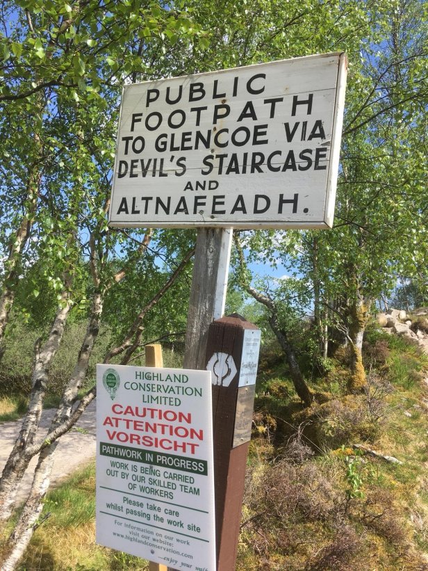
After Kings House the path heads along the valley, still following the Old Military Road, to finally reach the foot of the Devil’s Staircase. This is the most famous climb on the West Highland Way. By now the temperature had reached the mid to high twenties so I stopped for another water break before starting the ascent. In a short space of time I had climbed from 970 feet to 1,800 feet. The path was rocky and meandering all the way up. Unbelievably, 2 mountain- bikers passed me proving that there are people even more insane than me!
The descent to Kinlochleven was gradual, if also long drawn out. My water was now rationed but I could see the town below me and knew the end was in sight. Thankfully Pete had found a pub near to the way allowing me to rehydrate myself and eventually recover my powers of communication.

