
Sanquhar to Muirkirk – 15.6 miles (711.2 total)
Muirkirk, today’s destination, is in East Ayrshire, my home county. So, if ever I needed reminding of just how far I’ve travelled since taking those first steps on my journey, with Christopher, to escape the biting wind at Lands End, recognising familiar landmarks lets me know that I am close to home. Home, though, is not the end of the adventure, it is merely an old friend, waiting to reassure me and gently nudge me along the way to my ultimate objective, John o’Groats.
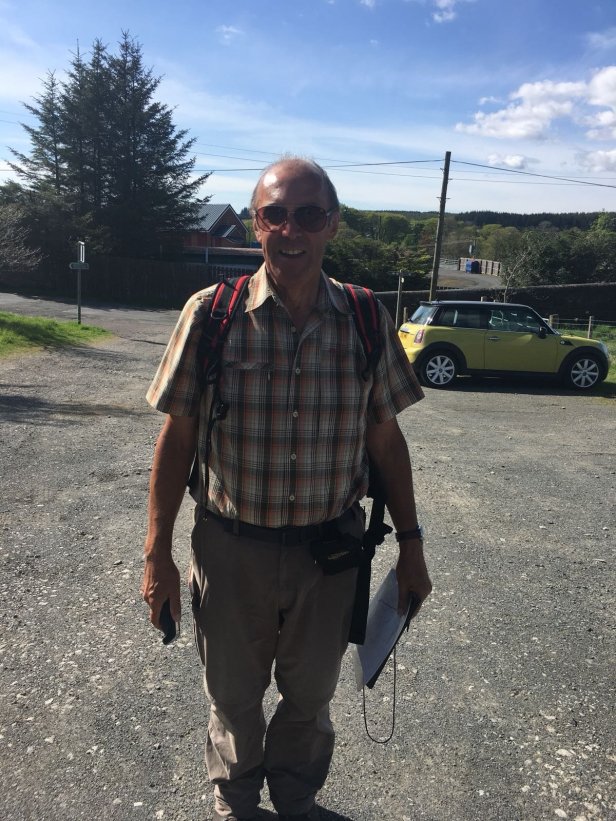
Today’s walk is one that I had been looking forward to for some time. Not only would it give me a chance to get a change from the constant roadwalking which has characterised the last week but, the Sanquhar/Muirkirk drovers’ trail is a walk I have wanted to do for years. I know I am repeating myself but yet again the sky was blue and the sun was shining as I left Sanquhar. No doubt, at some point, I will face thunderstorms, floods, blizzards and hailstones the size of footballs but the score, so far anyway, on this walk is Dario, one, British weather, nil. I don’t expect to win the match.
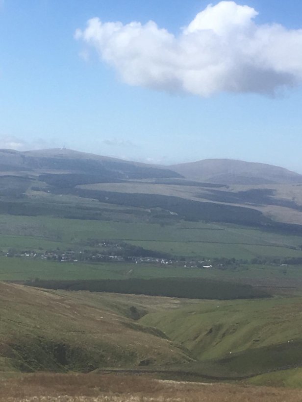
My walk started at the A76 main road then crossed over the railway line, following a quiet country road for about 6 miles. The road presented me with a gradual climb, taking 4 miles to get to the highest point of the day, 1,522 feet. Sanquhar, like many of its neighbours on the A76, used to be a mining town. The mines closed down long ago but 2 large pit bings (spoil heaps) were clearly visible from my elevated walk. If that was a reminder of old energy then the symbol of new energy was visible in every direction – wind generators! They dominated the landscape for miles around, as they seem to do everywhere in the South-West of Scotland. Will they be the pit bings of the future, I wonder? The views along the length of the Nith Valley were breathtaking with hills that I know and walk coming into vision.
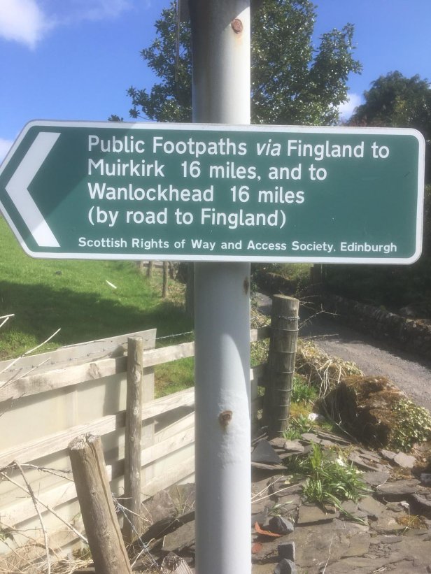
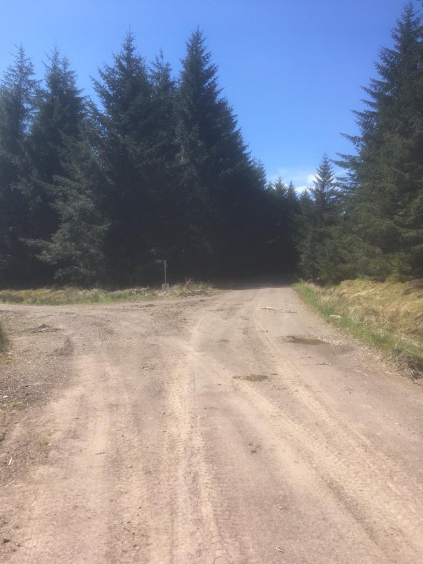
After rounding Glenguffock Hill the road finally came to an end, after 6 miles, at Fingland. Here, I followed a track which was to take me from Nithsdale, into a coniferous forest, then finally to the valley of the River Ayr. The walking, up to and including the forest, was excellent. The track going round Stony Hill, after leaving the woods, was horrible, for about a mile anyway. It was wet, boggy and muddy. Heavy duty forestry vehicles had obviously used it for access, churning up the soft ground and making it a quagmire in places. The hot weather was slowing me up a bit by this stage too.
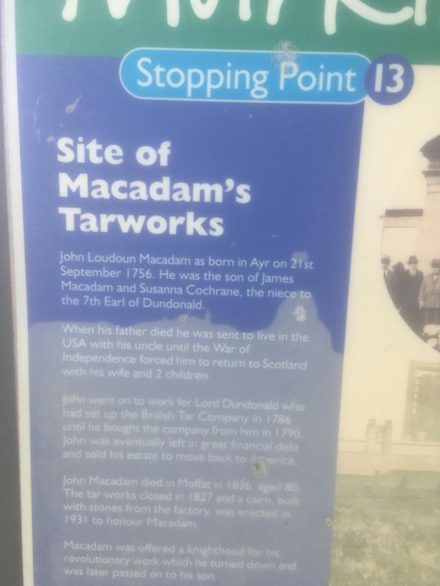
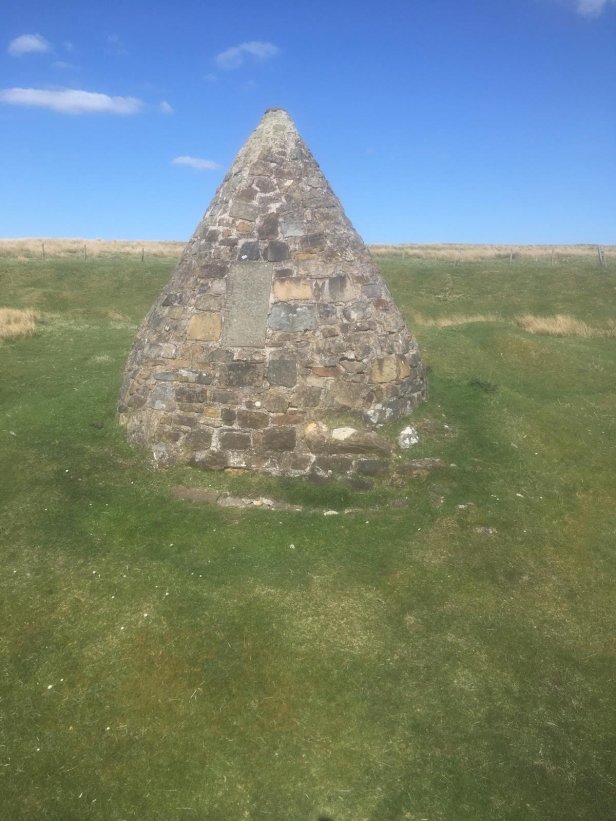
After a while the track became solid again and continued like that all the way to Muirkirk. Near the end, I passed Macadam’s Cairn, which commemorates John Macadam, the famous roadmaker, whose name lives on in ‘ Tar Macadam ’.
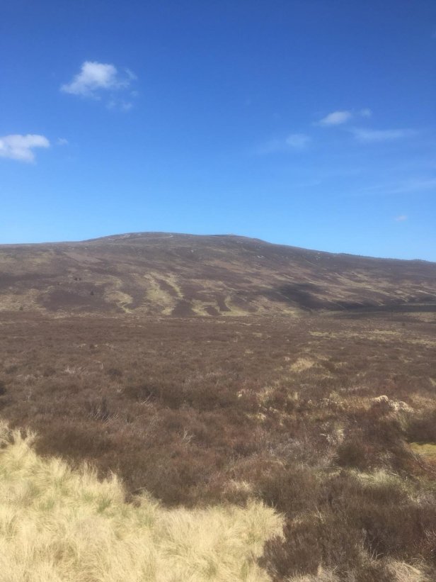
The last section of my walk was overshadowed by the ‘ highest hill in Ayrshire ’ – Cairn Table – a climb I have done often with my family, as the children grew up. Near its summit is a war memorial. In January 2010, when setting out to climb it in snow, I slipped and broke my ankle. At that point I wondered if my walking days might be over; I promised myself then that I would do Lands End to John o’Groats if I was lucky enough to get back to full fitness.
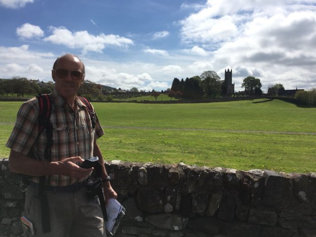
Reaching Muirkirk provides Kerching number 11, the River Ayr Way, which we walked in 2013. It also, as I’ve already said, brings me home to East Ayrshire, having now walked 700 miles.