
Burnham-on-Sea to Congresbury – 16.6 miles (232.2 total)
I put a lot of thought into finding my best route from Bridgwater to Bristol. Most recognised way-walks head towards Glastonbury and the Mendip hills but this seemed too circuitous when I am seeking the most direct route. Also, I wanted to avoid any unnecessary climbing that would result from entering the Mendips. Therefore, the Samaritan’s Way, the Lands End Trail and the Mary Michael Pilgrim’s Way were of no use to me. With George’s help I cobbled together a 3 day route using part England Coast Path, part National Cycle Route and part ‘a wing and a prayer ‘. Yesterday, as I detailed, was a bit of a hit and miss. Today, however things went pretty much according to plan.
I made some last minute alterations to my plan for today, to eliminate most ordinary paths and thus minimise the mud experience.
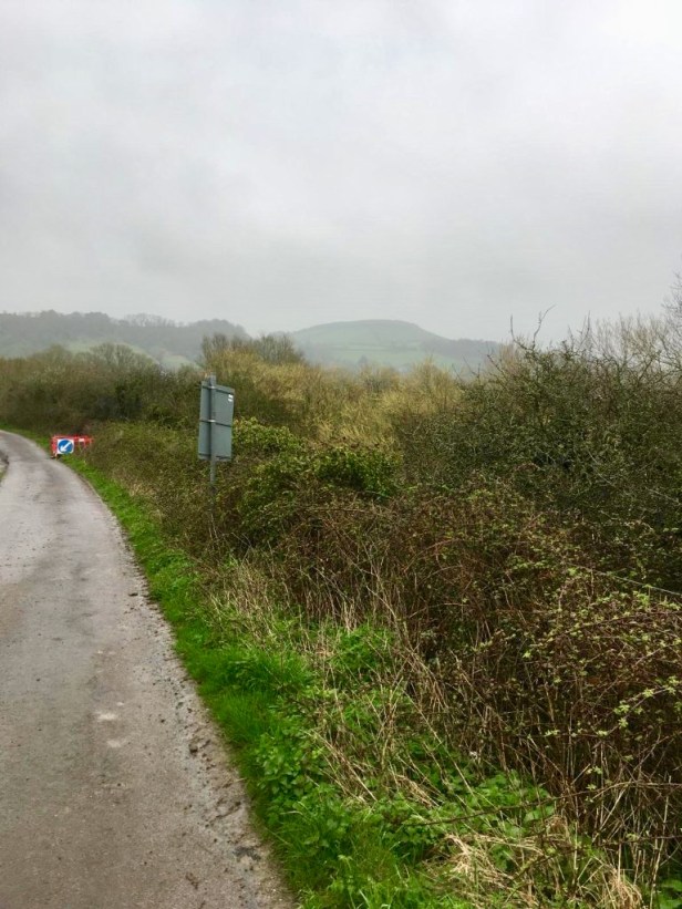
The day started with a surfaced path out of Burnham. I had hoped for a good view of Brent Knoll, a prominent local landmark, but visibility was poor leaving little to see. I had a much better view of it yesterday as I approached Burnham. Skirting the base of it, in a semi-circle, I soon met up again with my old companion, the M5 motorway.
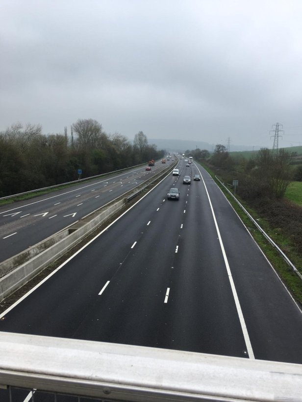
When you’re walking, you can hear a motorway long before you ever see it. To me the constant droning sound is like a jet engine preparing for take-off. Having crossed the River Axe, I eventually crossed the M5 (for the third time) at Crook Peak, this time, over by bridge, rather than under by tunnel. Crook Peak is at the western end of the Mendip Hills. My plan, yet again, was to skirt around the base of it – do you maybe see a recurring theme to my route planning?
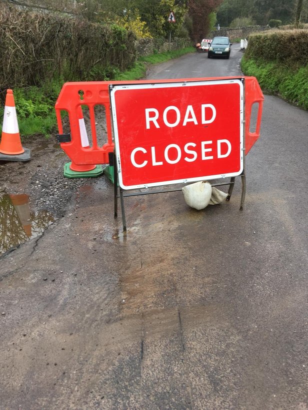
But then, out of the blue, hey ho, I came upon another old friend, a ‘Road Closed’ sign. As previously, I once again ignored it and stepped over a small trench which crossed the road… while the workmen had disappeared for their lunch. Do not try this at home, kids!
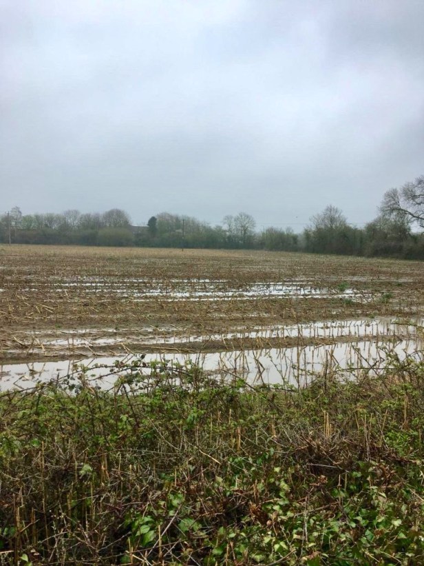
There had been yet more rain overnight leaving muddy and sodden fields all around, but, thankfully, I was walking on roads. That’s the Somerset Levels for you. Although visibility was poor and there was a constant threat of rain, it stayed dry all day.
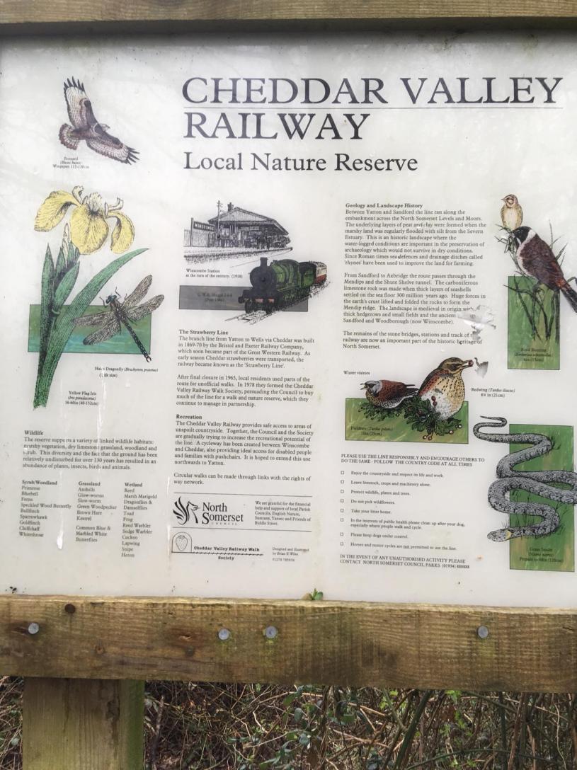
I then followed a cycle path, called the Strawberry Line, from Winscombe to Sandford, which follows the course of yet another Dr. Beeching casualty, the Cheddar Valley Railway. At Sandford I walked by the Thatchers Cider factory and soon reached my overnight stop, not far from Congresbury.
One day to Bristol and my first objective. All my joints feel fine as do my feet. As to my sanity, well you had better be the judge of that!
Comments on the blog are disabled, I believe, because I don’t desire a public forum. Peter will hopefully work out a way that those who want to can get in touch with me through the blog – when he has time. In the meantime, anyone who knows me, who would like a copy of my spreadsheet schedule for the whole walk, please feel free to message or e-mail me.
Finally, if you’re still reading these ramblings after 15 days, then you must be as mad as me.
